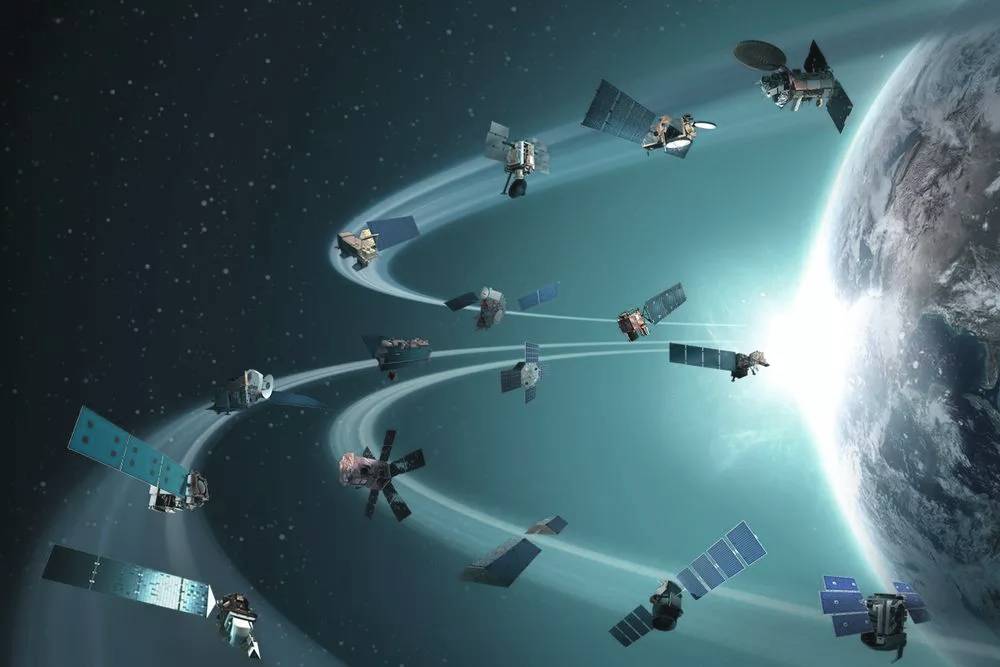

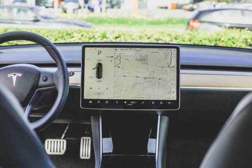


Transportation
Go the extra mile with the increased fuel economy and improved fleet efficiency you'll gain from Trans Global Geomatics GPS tracking devices.
CALL - US - FREE: +91 - 404 024 5009
CZECH COLONY, SANATH NAGAR, HYDERABAD, TELANGANA - 500018
Open Hours: Mon - Sat 10:00 AM - 6:00 PM
Trust, Committed, Support are words many companies use. For 19 long years, we have lived by these words to show our integrity towards clients and consultants. ISRO "India's Prestigious Organization" as recognized and partnered with us through out of our journey in accomplishing client's requirements and requests.
We have supported GPS tracker solutions, GIS Mapping Services, Fleet management, E2E Fleet Tracking of PAN India. There is pride in our commitment for finding the right solution to the client as we provide highly capable professional for a project, we undertake. Meeting Clients expectation is important, but more crucial point we follow is to provide CONFIDENCE in our 100% successful deliverables.
Our professional family is serving clients all over the world and our professionals are trained/updated with latest technologies to help them find more advanced development and innovative solutions for any industry.
Trans Global Geomatics (TGG) motto "Motivation, Integrity, Commitment are now and forever, One and Inseparable". Our relationship with Clients and Consultants is also inseparable when it comes to Support and Service. We are an Industry that provides excellence to Industry Leaders. Trans Global Geomatics - Sincerely thanks you for support and commitment.
Get A Quote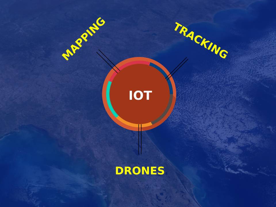
We are one of the GPS Tracking, GIS Mapping and Drones service providers, we strive hard to offer scalable and a powerful solutions for your business. It takes teamwork and a solid commitment, good communication, excellence, and industry best practices to serve a company in an excellent manner. We want you to be completely satisfied with our services. Our Support Team is Friendly, Fast, and Knowledgeable.
Dynamic solutions along with GPS Tracking
Business based Dashboard Design
R & D team to work on your engineering needs
REST API support
PAN India resident engineer support
Quality Assurance and timely delivery
365 days call centre support
Experienced Engineering staff
High Quality and Secure application standards
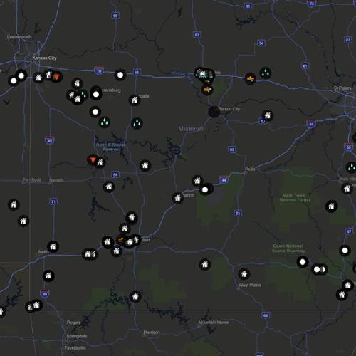
GPS tracking device can work in various ways. From a commercial perspective, GPS devices are generally used to record the position of vehicles as they make their journeys. Some systems will store the data within the GPS tracking system itself. An active GPS tracking device is also known as a real-time system as this method automatically sends the information on the GPS system to a central tracking portal or system in real-time as it happens.
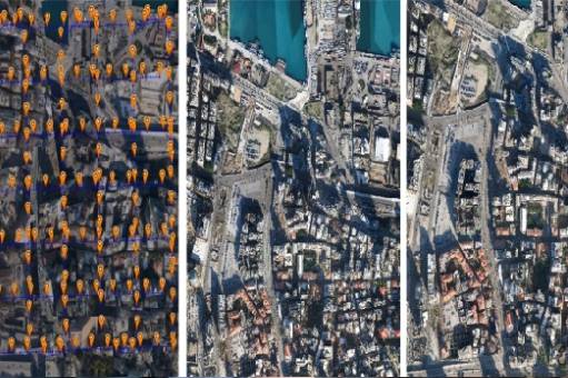
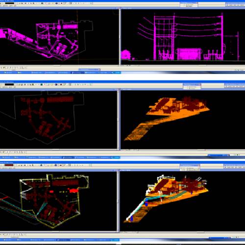
Photogrammetry
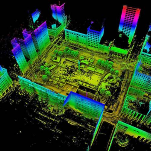
LiDAR
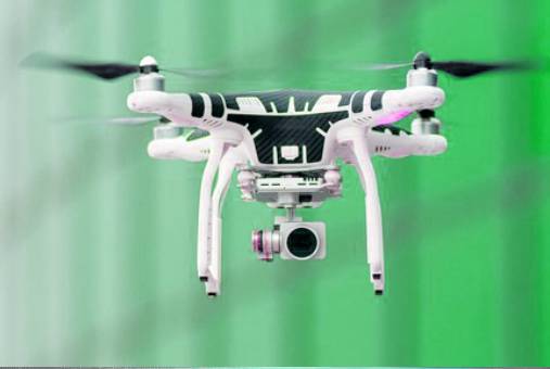
Drone Mapping
Stealth 3D Mouse
Nuvision 3d 60GX glasses
NVidia Graphics Cards
GPS with Fuel
GPS with RFID
GPS with Camera
GPS with Load Sensor
GPS with No GSM shadow zones
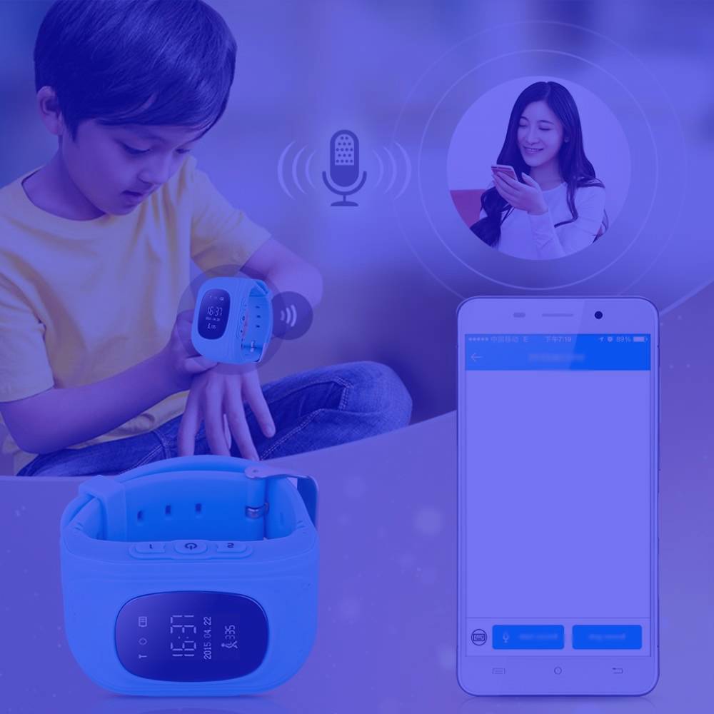
GPS Personal Tracker
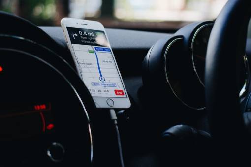
Mobile App for Tracking ( Android & IOS)
Advanced GPS with IP 66
OBD GPS Tracker
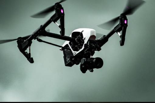
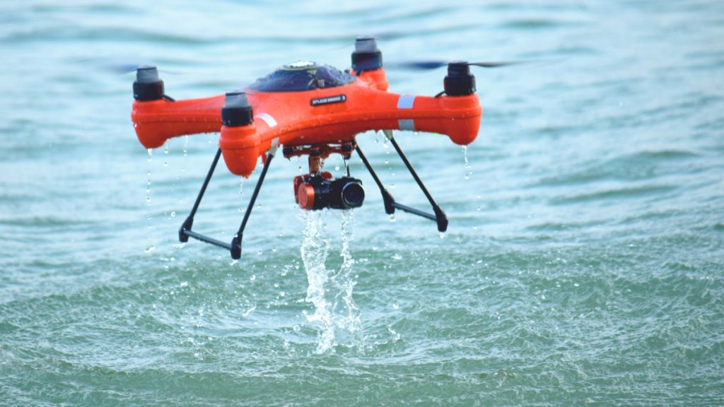
UAV s for Entertainment
UAVs for Mapping
UAVs for Security and Surveilance
UAVs for Agriculture.
UAVs for Power generation companies
Trans Global Geomatics Pvt Ltd is one of the pioneers in the field of Vehicle Tracking System, Fleet Management, GPS Tracking & Fuel Tracking Services. Having established in the year 2001 TGG has executed many international projects which has added great value to our customer which in turn increased the ROI to our customers. Trans Global Geomatics Pvt Ltd is partnered with International Companies to provide the most accurate solutions. We believe in 100% commitment towards the most reliable solutions.
Go the extra mile with the increased fuel economy and improved fleet efficiency you'll gain from Trans Global Geomatics GPS tracking devices.
Our LBS solution for government is specifically designed for all agencies and supports security, emergency, infrastructure, law enforcement, and a variety of other tracking applications.

Maximize the productivity of utilities equipment and personnel with our GPS tracking solution for utilities, featuring integrated work order management.

Our GPS tracking services can dispatch the closest available worker to a location, and send customers a dedicated link.

With our GPS tracking devices, parents have a variety of device options and customizations that they can use to locate their children if they become lost.
The Trans Global Geomatics GPS tracking system allows construction companies to track vehicles and assets both during the workday and when in storage.